
Methodology
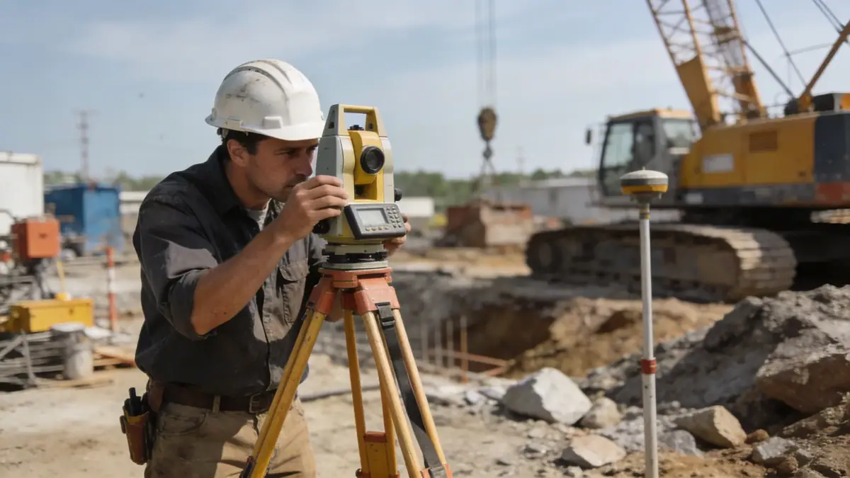
Our methodology for projects in Billings follows a systematic approach combining field investigation and laboratory testing. We utilize standard penetration testing (SPT) per ASTM D1586, with sampling intervals typically every 1.5 m to depths of 15 m for typical structures. Soil samples are analyzed at our soil mechanics laboratory using calibrated equipment for classification, strength, and consolidation parameters. This data informs foundation recommendations, seismic site classification, and earthwork specifications. Our team tailors the investigation scope to site-specific geology and project requirements, ensuring cost-effective and reliable results.
Reference Technical Parameters
| Parameter | Reference Value |
|---|---|
| Predominant soil type | Glacial till, alluvial sands, clay |
| Maximum seismic acceleration (PGA) | 0.15g to 0.20g (ASCE 7) |
| Typical groundwater level | 3 to 8 m below grade |
| Bedrock depth | 15 to 30 m (shale/sandstone) |
| Typical N60 range | 10 to 40 blows/0.3 m |
Local Considerations — Billings
Billings lies within the Yellowstone River valley, underlain by Cretaceous sedimentary bedrock (shale and sandstone) with variable glacial and alluvial overburden. Key geotechnical considerations include: (1) expansive clays in the Heights area requiring moisture control; (2) shallow groundwater in South Side alluvium; (3) seismic site classification per ASCE 7 with PGA up to 0.20g; (4) frost depth of 1.2 m; (5) typical foundation solutions range from spread footings in dense sands to deep piles in soft clays. For regional expertise, our team also coordinates with our granulometry & atterberg laboratory for fine-grained soil characterization.
Request a Quote
Our team reviews your project and issues an initial report at no cost.
Or write us directly at [email protected]
Services in Billings
Applicable Standards
- ASTM D1586 (SPT)
- ASCE 7 (seismic loads)
- IBC (International Building Code)
- ASTM D2487 (soil classification)
- ASTM D4318 (Atterberg limits)
Frequently Asked Questions
What are the typical soil conditions in Billings?
Billings soils vary from glacial tills and expansive clays in the Heights to alluvial sands and gravels near the Yellowstone River. Groundwater is typically 3 to 8 m deep, and bedrock (shale/sandstone) is found at 15 to 30 m depth.
Does Billings require seismic soil analysis?
Yes, per ASCE 7, Billings is in Seismic Design Category B or C with PGA up to 0.20g. Site-specific soil analysis is required for critical structures to determine site class and liquefaction potential.
Are soil mechanics studies mandatory for construction in Billings?
While not always mandatory for small residential projects, most commercial and multi-family developments require a geotechnical report per local building codes. Lenders and insurers often request soil testing to mitigate risk.